PLAXIS
Geo-engineering projects made easy
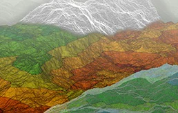
PLAXIS Geotechnical Analysis Software
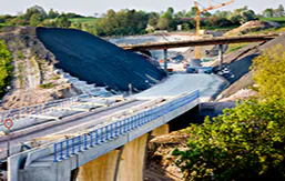
Conquer any geotechnical project with confidence using PLAXIS. Design and perform advanced finite element or limit equilibrium analysis of soil and rock deformation and stability, as well as soil structure interaction and groundwater and heat flow. You will have what it takes to handle advanced constitutive models for the simulation of the nonlinear and time-dependent behavior of soils. Apply hydrostatic and nonhydrostatic pore pressures, model structures and the interaction between the structures and the soil, and take on projects of all types such as excavations, foundations, embankments, tunnels, mines, dredging, and more.
PRODUCTS
PLAXIS 3D WorkSuite
Perform 3D analysis of deformation and stability on your next geotechnical project with PLAXIS 3D WorkSuite, a finite element and limit equilibrium package that includes specialized functionality for vibration and groundwater analysis.
PLAXIS 2D WorkSuite
Perform 2D analysis of deformation and stability in geotechnical engineering with PLAXIS 2D WorkSuite, a powerful finite element and limit equilibrium package that includes specialized functionality for vibration, groundwater, and heat flow analysis.
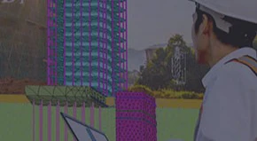
PLAXIS Designer
Geotechnical model builder to reduce time for design and analysis using engineered earth structures, construction, topology, borehole, and water data.
PLAXIS 3D
Perform powerful 3D analysis of deformation and stability in geotechnical engineering and rock mechanics with PLAXIS 3D.
PLAXIS 2D
Perform 2D analysis of deformation and stability in geotechnical engineering and rock mechanics with PLAXIS 2D, a powerful finite element package.
PLAXIS LE
Enhance 2D or 3D limit equilibrium slope stability analysis with related unsaturated seepage groundwater flow estimation or stress analysis.
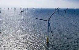
PLAXIS Monopile Designer
Enhance your designs for monopile foundations with PLAXIS Monopile Designer and reduce wind farm costs.
Run fast and accurate analysis
Geotechnical challenges, do not require complex geotechnical tools. Solve problems with intuitive digital workflows for data informed decisions.